Tap a mapped trail.
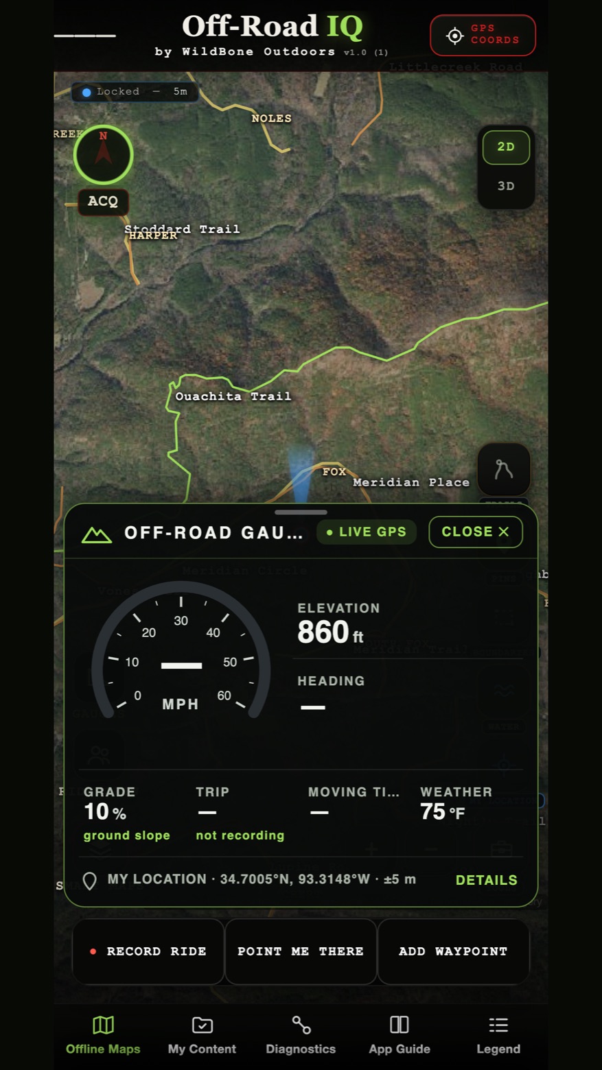
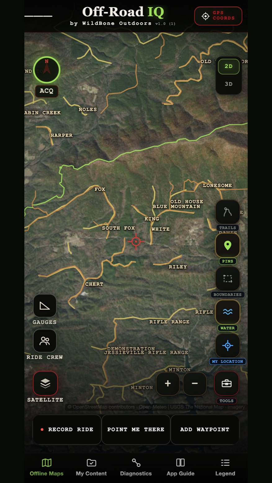
Forest roads and trails drawn over real aerial imagery. Filter them on and off from the legend.
Off-road maps · iPhone & Android
Off-road maps drawn over real aerial imagery.
Off-Road IQ is on its way to the App Store and Google Play.

Every road and trail on public land, over real aerial.
Tap a road or trail to see what it is. Save an area before you leave service, and keep your maps with you.


Forest roads and trails drawn over real aerial imagery. Filter them on and off from the legend.

GPS speed, elevation, heading, grade, trip, moving time and weather, all where you are.

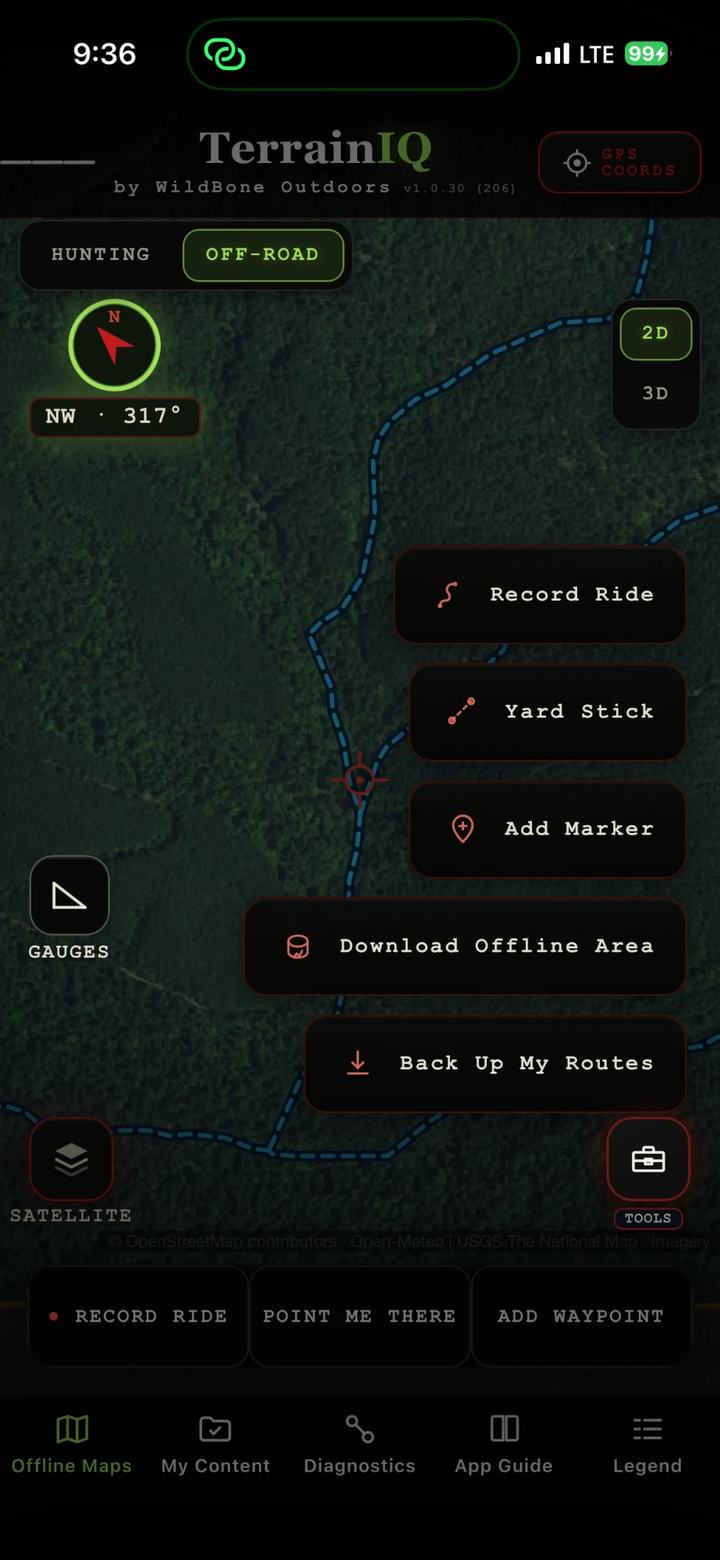
Download Offline Area while you still have service. Off-road keeps clean aerial when the bars are gone.

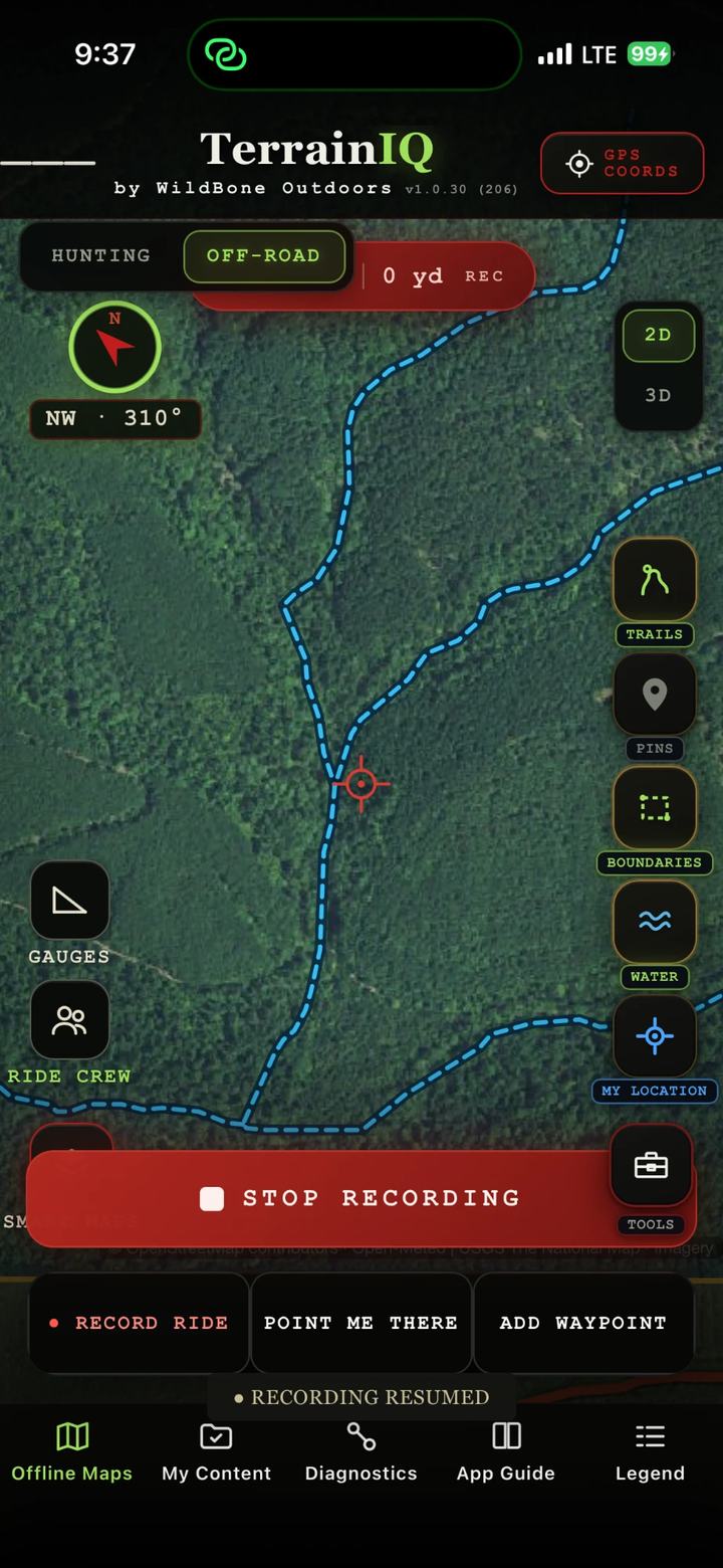
Tap Record Ride and go. Point Me There and Add Waypoint stay one tap away.

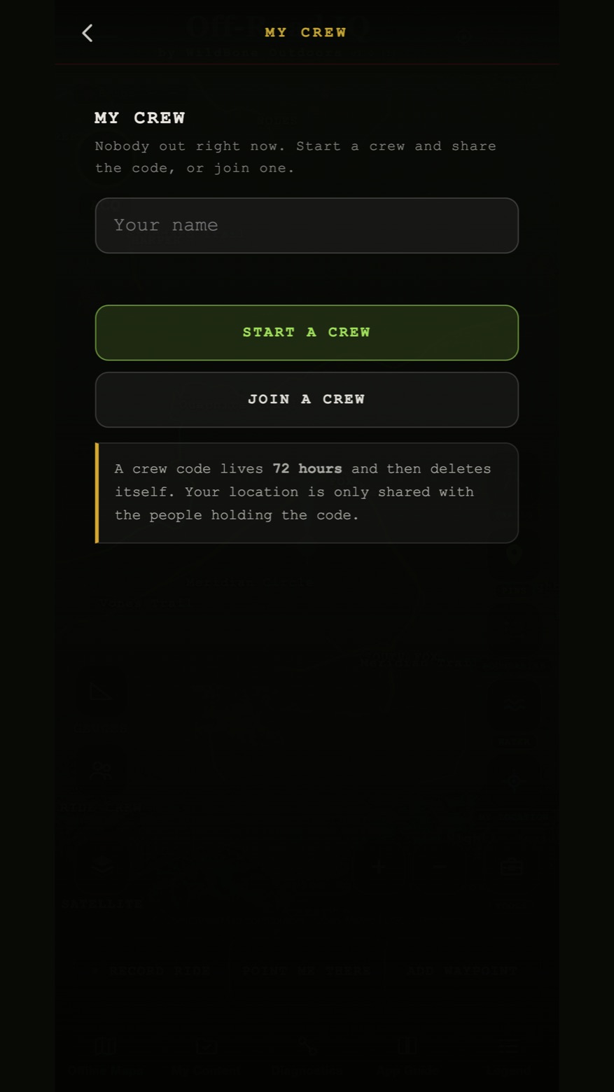
Everyone on one code, everyone on the same map. Crew positions need a signal to update.
Dirt or gravel, how rough, how many miles, and whether it is open.
Get Directions follows the road to your saved spot, then the compass takes over.
Off-Road IQ is on its way to the App Store and Google Play.